Iris Griffin · 8 September 2026
Poetry Collectives Documenting Shifting Urban Landscapes Through Collaborative Mapping Projects
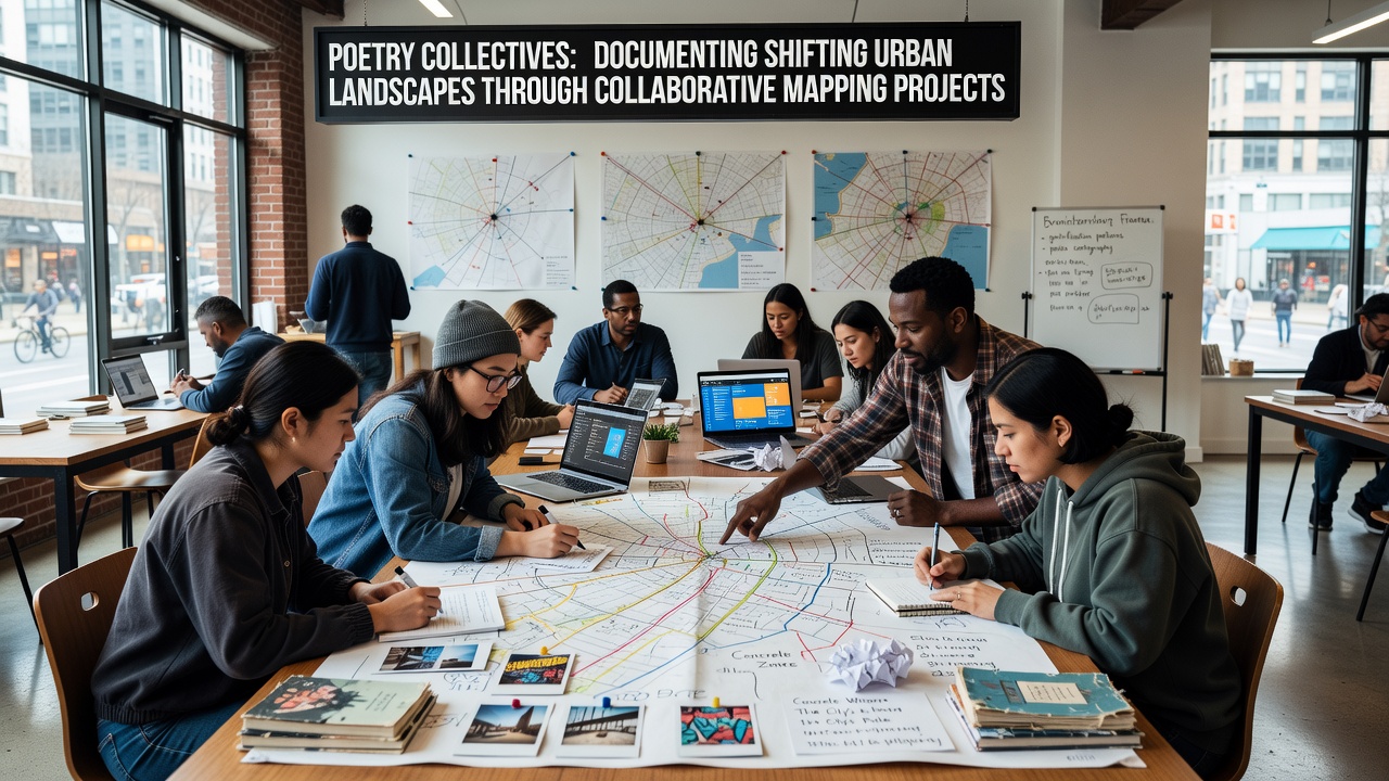
Poetry collectives have developed collaborative mapping projects that combine verse with geographic documentation to record transformations in city environments, and these efforts bring together writers, cartographers, and residents to trace alterations in neighborhoods over time. Groups in multiple cities coordinate workshops where participants draft poems tied to specific locations, then overlay those texts onto digital or physical maps that highlight shifts such as new construction, green space reductions, and population movements. Data from these projects shows consistent patterns in how urban areas evolve, with researchers noting connections between poetic output and measurable changes tracked by municipal records.
Methods Behind Collaborative Mapping Initiatives
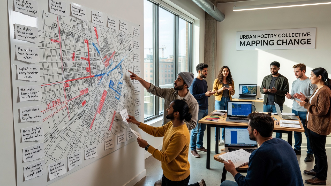
Participants start by selecting zones experiencing rapid development, then gather field notes through walks and interviews that feed into both textual and spatial outputs. Teams use open-source mapping software to plot coordinates alongside poem excerpts, creating layered records that allow users to click locations and read accompanying verses describing before-and-after conditions. Studies from academic institutions indicate that such integrated approaches increase community engagement with planning data, while the poems provide qualitative context that standard surveys often miss. One collective in North America documented over 200 sites across three years, producing maps that aligned poetic themes with census figures on housing density and commercial turnover.
Examples of Active Collectives and Their Projects
Several established groups operate in different regions, each adapting the model to local conditions. In European cities, collectives focus on post-industrial zones where redevelopment alters historic districts, and they publish maps that pair verses about memory with satellite imagery comparisons from 2015 onward. Australian teams have concentrated on coastal urban edges affected by climate-related infrastructure adjustments, releasing annual updates that link poetic sequences to environmental monitoring reports. These initiatives often partner with universities for data validation, ensuring the maps meet standards used in geographic information systems research.
Workshops typically run for multiple sessions, during which members refine drafts based on group feedback and cross-reference findings with public records from city archives. The resulting products circulate through community centers and online platforms, where residents add annotations that expand the collective record. Evidence from similar programs reveals higher participation rates when mapping events coincide with local festivals or planning hearings, because the combination draws both literary enthusiasts and those directly impacted by landscape changes.
Documentation of Specific Urban Shifts
Collectives track indicators such as building demolitions, new transit lines, and alterations in public parks by aligning poetic observations with quantitative datasets. In one documented series from 2024 to 2026, groups recorded how commercial corridors shifted from mixed retail to residential conversions, and the accompanying verses captured resident accounts of displacement alongside official zoning updates. Reports compiled by these projects demonstrate that visual-textual maps reach audiences beyond traditional planning documents, with download statistics showing repeated access from educators and local advocacy networks. Researchers have observed that the poetic layer encourages repeated interaction with the material, because readers return to explore emotional dimensions alongside factual overlays.
Developments Scheduled for September 2026
A coordinated international exchange is set for September 2026, when representatives from multiple collectives will convene to compare mapping methodologies and release a shared database covering urban sites across three continents. Organizers have scheduled sessions that pair technical training in geographic software with discussions on integrating verse forms into data visualization tools. Preliminary announcements indicate participation from over fifteen groups, and the event will include public demonstrations where attendees contribute to live map updates based on current neighborhood observations. This gathering builds on earlier regional meetings that established common protocols for data sharing and attribution.
Connections to Broader Research and Planning
Academic analyses have examined how these poetry-driven maps contribute to urban studies, with findings showing correlations between documented poetic themes and policy discussions in city council minutes. Statistics Canada data on neighborhood change provides one reference point that collectives cross-check against their field records. In parallel, work from the European Environment Agency supplies comparative environmental metrics that some European groups incorporate into their layered outputs. The combination allows projects to situate local verses within larger patterns of urban transformation tracked by government agencies.
Conclusion
Poetry collectives continue to refine collaborative mapping as a tool for preserving records of urban evolution, and their outputs integrate literary and spatial elements into accessible formats that support both community reflection and research inquiry. Ongoing projects through 2026 maintain focus on verifiable changes while expanding participation through structured workshops and shared digital resources. The approach yields datasets that complement conventional planning materials, offering sustained documentation of how cities adapt over successive periods.